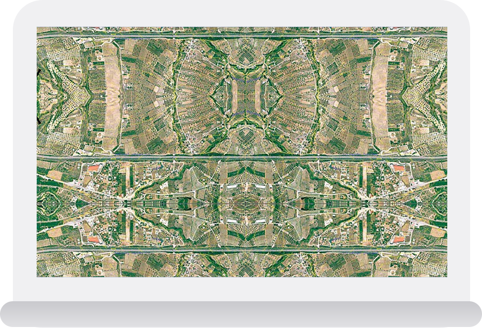
An orthophoto is an aerial photograph that has been geometrically corrected or 'ortho-rectified' such
that the scale of the photograph is uniform and utilised in the same manner as a map.
Aerial photos are post-processed to generate orthophotos
Orthophotos are of uniform scale and provide a mathematically correct representation of ground distances. This makes them valuable to use as reference imagery or as part of a base data set in a map.
The process of creating orthophotos includes
Correcting naturally occurring distortions in the aerial photos resulting from the perspective view of the camera
Industries
We deliver meaningful and lasting results for our clients.